Alma, CO - Comprehensive Plan 2016
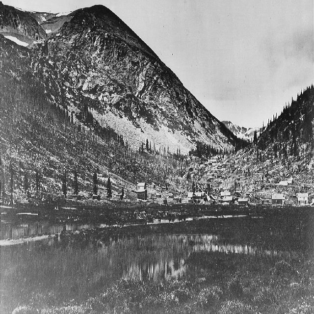
Alma is a Statutory Town in northwest Park County, Colorado. The town is located at the junction of Buckskin Creek and the Middle Fork of the South Platte River in a narrow valley that rises abruptly to alpine peaks on both sides; the town has a total land area of 0.362 square miles.
The 274-person town is accessed by State Highway 9 and is approximately 6 miles northwest of Fairplay and 26 miles south of Interstate 70 at Frisco. In the summertime, it is possible to drive the 17-mile direct route to Leadville in approximately one hour; in the wintertime the road is closed, and it is a 57-mile drive through Frisco. The state capital in Denver is a 90-mile, 2-hour drive.
At over two miles high (elevation 10,578 feet above sea level), Alma is recognized as the highest incorporated community in the United States. The Town has a long and enduring tradition as a small, close-knit community with a high quality of life. The vision for this plan is to ensure that the Town's unique mountain culture is preserved and sustained for future generations. This plan discusses issues identified by Alma's residents as important to maintaining and improving their Town.
Continue Reading >>